WGS Systems
WGS Systems has delivered some of the most innovative ISR solutions deployed today ranging from merging sensors, processing, backhaul, communications and analytics. WGS provides military, intelligence and law enforcement organizations around the world affordable, innovative, and high-performance systems. WGS specializes in the development of comprehensive Intelligence, Surveillance and Reconnaissance (ISR); including mission planning, survey, collection, detection, location, tracking, recording, processing, exploitation and dissemination.
RF Signal Solutions
WGS Systems develops premier RF Signals Collection and Analysis solutions geared for the modern signals intelligence user. WGS solutions can be deployed rapidly, enabling a quick reaction capability for today’s ISR professionals. WGS solutions are ideally suited for austere environments including manned or unmanned aircraft, remote ground-based sensors as well as vehicles.
Major features include:
- RF Environment Analysis and Mapping
- Integrated Real-Time Mapping Overlay
- Target Database and Management
- Robust Datalink Management
- Real-Time Spectral Display
- Spectral History Waterfall Display
- Signal Analysis, Geolocation and Hunting
- Signal Monitoring
- Geolocation
- Sensor Cross-Cue
- Steer-to-Target
Mission Management Systems
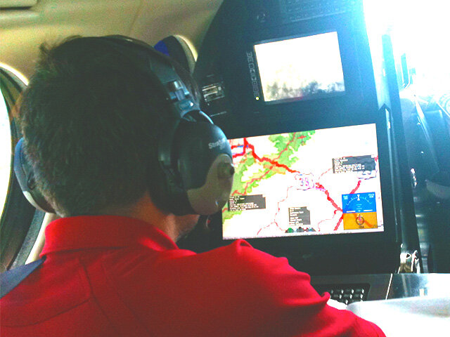
WGS Systems deploys complete integrated mission management systems designed for the modern ISR mission. WGS solutions utilize the latest software and hardware on the market today. WGS solutions are built to be scalable, flexible, and mission driven. Designed from the start with the future in mind, key capabilities and features include:
Multi-sensor control and visualization
- Complete situational awareness and sensor status
- Enhanced moving maps solution, supporting modern 3-D and legacy map types
- Integrated navigation and aircraft status for manned and unmanned airborne systems
Integrated sensor data correlation
- Drive multiple sensors from a common operating platform
- Supports the latest RADAR, IMINT, SIGNIT, ELINT, HUMINT sensors
- Provides sensor data combining and visualization
- Creates and stores high-fidelity multi-int metadata for post mission archiving
Subject and target development
- Integration of networks and communications subsystems with immediate TCPED effectiveness
- Pattern of life development
- Forensics association
- Predictive analysis


